Price
Free from App store and Google Play
1 month subscription: £3.99
1 year subscription: £23.99
Or use redeem code from a paper map to download an area
Pros
- Accurate route planning
- Offline downloads
- GPS location
- Easy to use
Cons
- Drains battery
Introduction
Despite the incredible progress of the digital world in the past decade many outdoor enthusiasts and adventurers still find themselves reaching for a paper map before setting out for an adventure. We’re lucky in the UK to have fantastic maps in the form of Ordnance Survey 1:25k and 1:50k. They are a joy to use due to their accuracy and excellent design. Of course there have been great strides in mapping technology such as those made by GPS, however, devices are still expensive and not an option for everyone. That’s where the OS maps app steps in, offering digital versions of our favourite maps from our phones, a device most people already possess, offering a cheap way to access the accuracy and solace afforded by a GPS device. We were excited at the prospect but how well does it work? A part of me thought that it must be too good to be true. We’ve been using the app for the last few months and here’s what we found:
Features
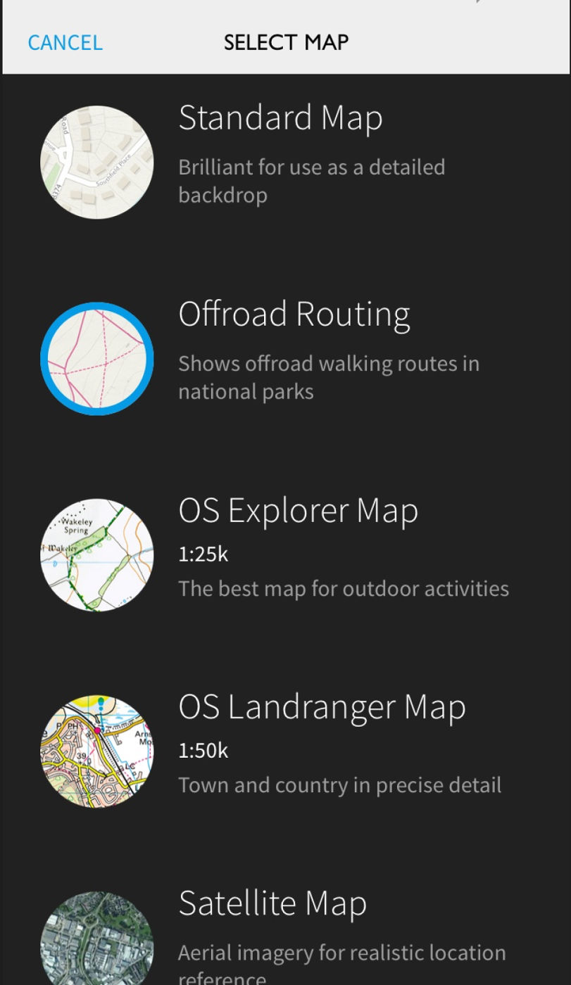
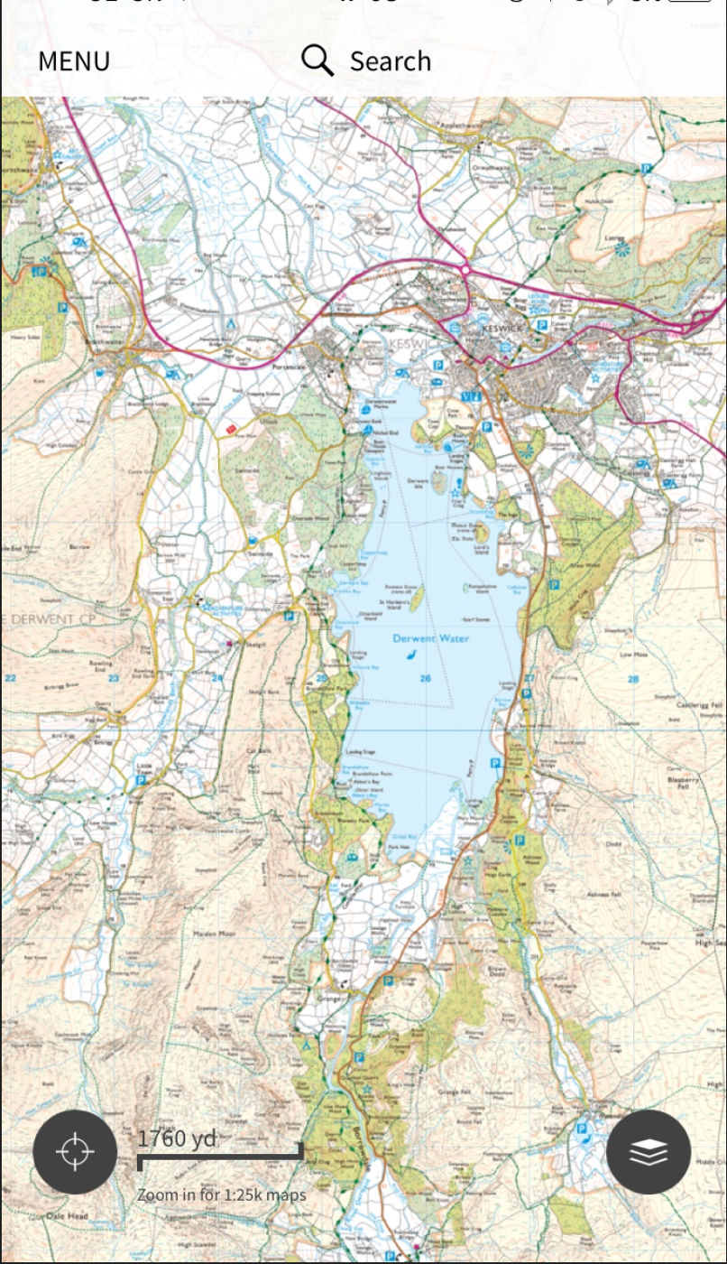
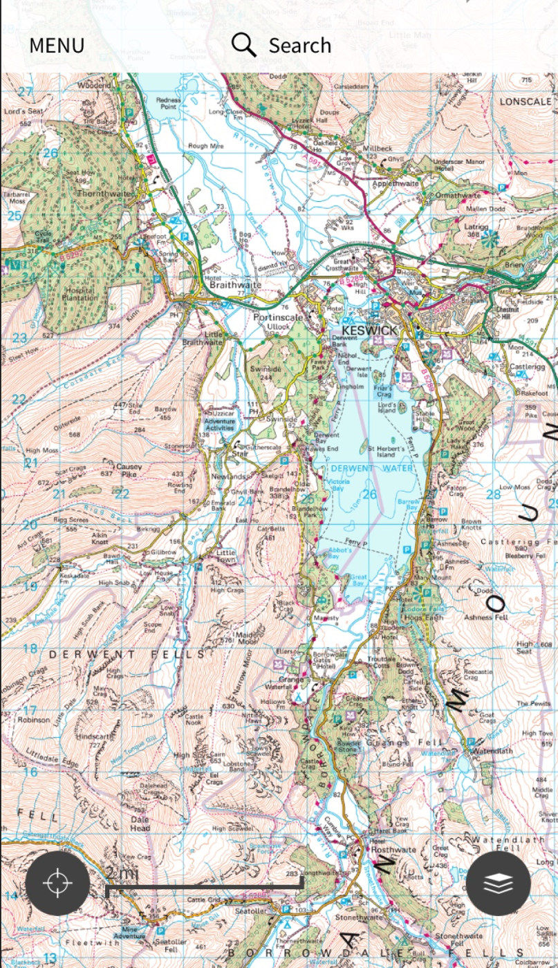
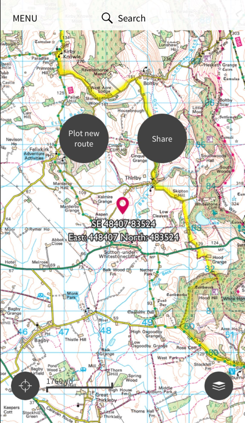
The app has several types of map available to use for different purposes including the standard 1:25k and 1:50 OS maps as well as as typical road map for use in the car, plus another for when driving at night. It also offer satellite imagery as well as an ‘offroad routing’ map which is a simplified style, not dissimilar from the Google/Apple/Bing map style, but with contours and paths shown in National Park areas.
It must be noted that you will not be able to access 25k and 50k maps without either using a redeem code found in all new OS landranger and explorer maps to download an area, or by paying a subscription, giving access to nationwide mapping, either monthly or annually. You can then save these maps for offline use as and when you need them.
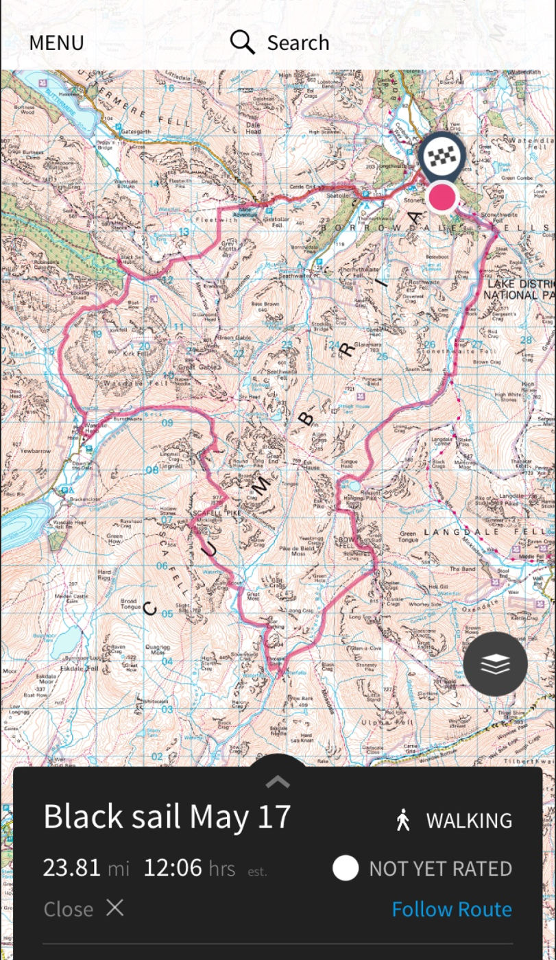
You can also plot routes for either running, walking, or cycling, which you can save and share if you like. The app will show how long your route is, elevation data, and provide an estimated time needed to complete the route.
In Use
In the time I’ve been using the app I have found it to be very reliable and useful. The practicalities of being able to quickly glance at a phone beats stopping to unfold a map, particularly in windy conditions. I have found the GPS location to be very accurate even when far away from mobile service. Obviously you need to be wary about the safety of your device, most mobile devices are still vulnerable to damage whilst being used in adverse conditions. I use a Quadlock phone case with a rain cover which I would highly recommend.
Conclusion
I would highly recommend this app. It functions very well and is reliable when you need it to be, although I would still recommend using it in addition to a physical map and compass, rather than solely relying on it.